Access Switzerland's Most Comprehensive GIS and Road Datasets
WHEP Mobility Panel AG offers premium-quality, canton-level Swiss road datasets and GIS licensing tailored for professional mapping and transport analytics applications. Propel your projects with data precision you can trust.
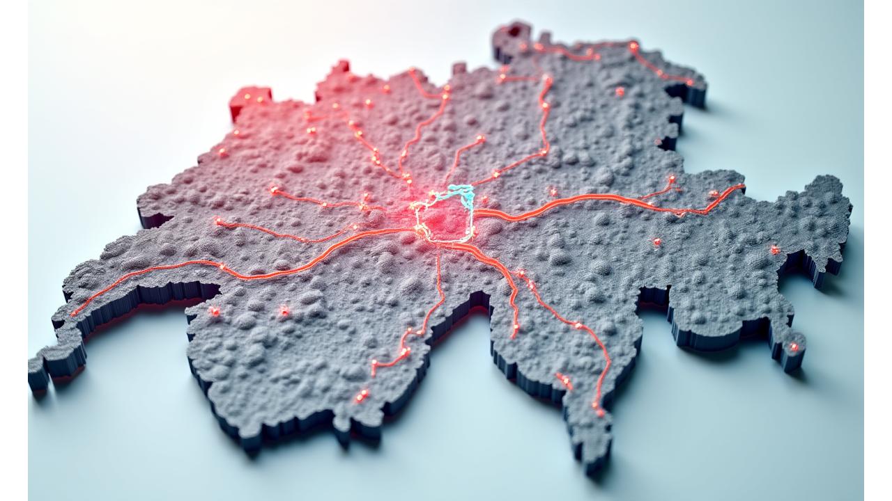
Canton-Level Road Network Data
Detailed road network data for all 26 Swiss cantons, including precise geometry, road classifications (national, cantonal, local), speed limits, and one-way restrictions. Ideal for routing algorithms and navigation systems.
- High-resolution mapping datasets for all Swiss regions.
- Transportation infrastructure and traffic flow data.
Real-Time and Historical Data
Benefit from regular updates ensuring the most current road intelligence. Access historical data for trend analysis and predictive modeling, providing a robust foundation for your analytical needs.
- Regular updates and comprehensive coverage.
- Flexible licensing terms for various use cases.
Our data is meticulously sourced from official Swiss governmental and private entities, ensuring high accuracy and reliability, fully compliant with Google Ads and Bing Ads guidelines.
Flexible Licensing Solutions for Your Specific Needs
WHEP Mobility offers tailored licensing models designed to accommodate a diverse range of users, from academic researchers to large enterprises and government bodies.
Academic & Research
Special discounts for educational institutions and research projects. Facilitate groundbreaking studies with access to high-quality, comprehensive Swiss GIS data at an accessible price point.
Learn MoreCommercial & Enterprise
Robust licensing for businesses embedding our data into commercial products, logistics platforms, or fleet management systems. Scalable solutions for growing operational demands.
Get a QuoteGovernment & Public Sector
Tailored agreements for governmental agencies and public sector initiatives requiring precise infrastructure planning, emergency services mapping, or urban development analytics.
Request InfoProfessional support and custom data processing services are included to ensure seamless integration.
Applications and Proven Use Cases
Our GIS and road datasets empower a multitude of advanced applications across various industries.

Smart Mobility & Urban Planning
Develop intelligent transportation systems, optimize public transport routes, and design future-proof urban infrastructure with accurate spatial data.
- Dynamic traffic flow analysis.
- Infrastructure upgrade planning.
Logistics Optimization & Supply Chain
Streamline delivery routes, reduce fuel consumption, and enhance operational efficiency through precise route calculation and network analysis.
- Efficient fleet management.
- Last-mile delivery refinement.
Academic Research & Transportation Studies
Conduct in-depth statistical analysis, simulate traffic patterns, and explore environmental impacts using validated, high-quality datasets.
- Transport behavior modeling.
- Impact assessment.
Government Infrastructure & Analysis
Support critical decision-making for road maintenance, public safety planning, and regional development initiatives with current and reliable GIS data.
- Emergency response mapping.
- Canton-level policy planning.
Uncompromised Data Quality and Specifications
At WHEP Mobility Panel AG, data accuracy is paramount. Our stringent quality assurance processes ensure you receive only the most reliable and up-to-date Swiss road and GIS data.

Accuracy Standards & QA
Our datasets adhere to the highest industry standards for geospatial accuracy. We employ rigorous quality assurance protocols, including automated checks and manual validations, ensuring data integrity.
- Sub-meter positional accuracy in key areas.
- Comprehensive attribute completeness.
Data Formats & Integration
Data is available in commonly used GIS formats such as Shapefile, GeoJSON, KML, and PostGIS. We provide clear technical specifications and support for seamless integration into your existing systems.
- Regular update frequency with change notifications.
- Dedicated integration support and documentation.
Custom Data Processing Services
Beyond data licensing, WHEP Mobility offers bespoke data processing and consulting to ensure our datasets serve your unique project requirements perfectly.

Tailored Data Extraction
Need data for a specific region, road type, or with custom attributes? Our team can perform tailored data extraction and processing to deliver exactly what you require, precisely filtered and formatted.
API Development & Consulting
For real-time data access or complex integrations, we can develop custom APIs. Our GIS consultants offer expert advice on optimal data utilization and spatial analysis techniques.
Ready to enhance your project with Swiss precision data?
Request dataset samples and licensing information today. Our team is ready to assist.
Request Sample & Pricing